Is establishment on track?
Review plant presence and stocking patterns across the site rather than relying on one overall number.
 Discuss a forestry site ↗
Tropos Analytics’ forestry flagship
SilvaSense™ turns drone imagery, site boundaries and field evidence into mapped detections, stocking insight and defensible forestry reports.
 Commercial validation
Built around forestry work
Foresters need more than another map. They need to see what was observed, how the result was produced and where field inspection will add the most value.
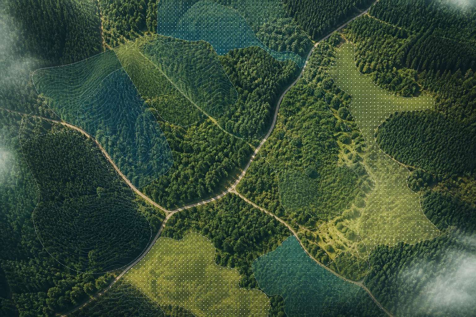
Review plant presence and stocking patterns across the site rather than relying on one overall number.
See patch variation and areas that warrant closer field checking or professional interpretation.
Keep imagery, detections, validation material and limitations connected to the output.
Export spatial outputs into established GIS workflows, including KML for compatible mapping tools.
A reviewable route
Every stage preserves enough context for an accountable person to understand the evidence and decide what it supports.
What foresters receive
SilvaSense™ is designed to present evidence clearly inside the product and allow approved outputs to continue into the organisation’s existing workflow.
Existing-tool compatibility
Spatial outputs can be exported for compatible mapping tools. Coordinate reference, version, coverage and limitations remain important checks before operational use.
Mapped tree or plant indicators available for review.
Spatial patterns and practical indicators across the site.
Closer inspection of local variation and exceptions.
Comparison with manual, image or field reference evidence.
Maps, indicators, context and limitations in a clear output.
Approved layers for compatible GIS and KML workflows.
Evidence and human authority
SilvaSense™ keeps analytical output connected to the imagery, site context, validation work and limitations behind it. Forestry professionals remain responsible for interpreting what the evidence means and deciding what action is justified.
That discipline is part of the product: credible forestry intelligence should make its basis inspectable, not hide uncertainty behind a polished map.
Start with a real forestry question
We welcome conversations about prepared demonstrations, validation work and carefully governed pilot opportunities.
Discuss a forestry site ↗